WHY THE LINE 26°10'46”S 28°08'10”E
Offered by: Aisha Balde
Keywords: Heterotopic
Categories: LOCALITIES
ENTRY IV Thursday 4th, May
International borders are constantly re-asserted and policed whilst internal domestic disputes (military, religious, economic, cultural) see ever-increasing numbers of displaced citizens seeking refuge or shelter. The accompanying political rhetoric (Brexit, Trump, xenophobic attacks in South Africa) only serves to exacerbate tensions between those looking to enter new societies and those who see it as their patriotic right and, increasingly duty to resist.
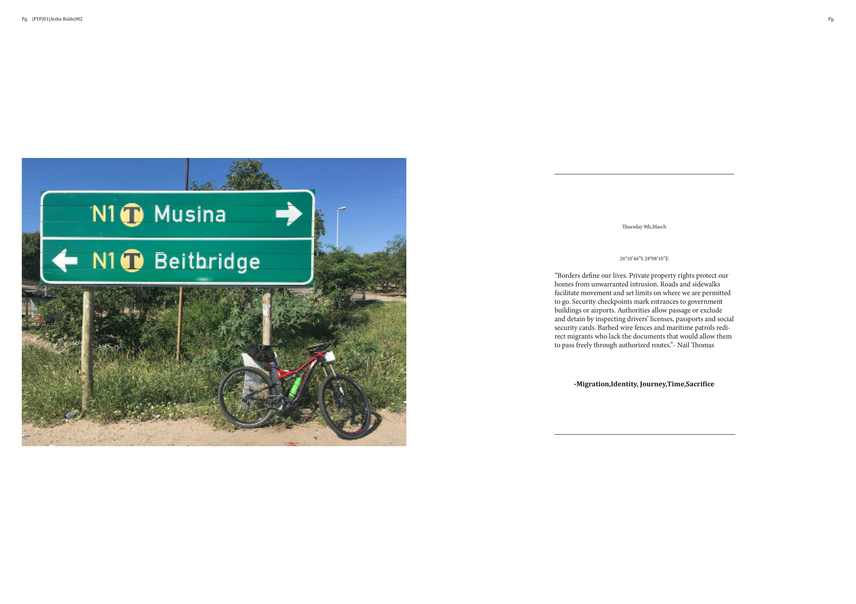
In the following drawings I investigate the line that divides South Africa from Zimbabwe, using scale as a tool for mapping.
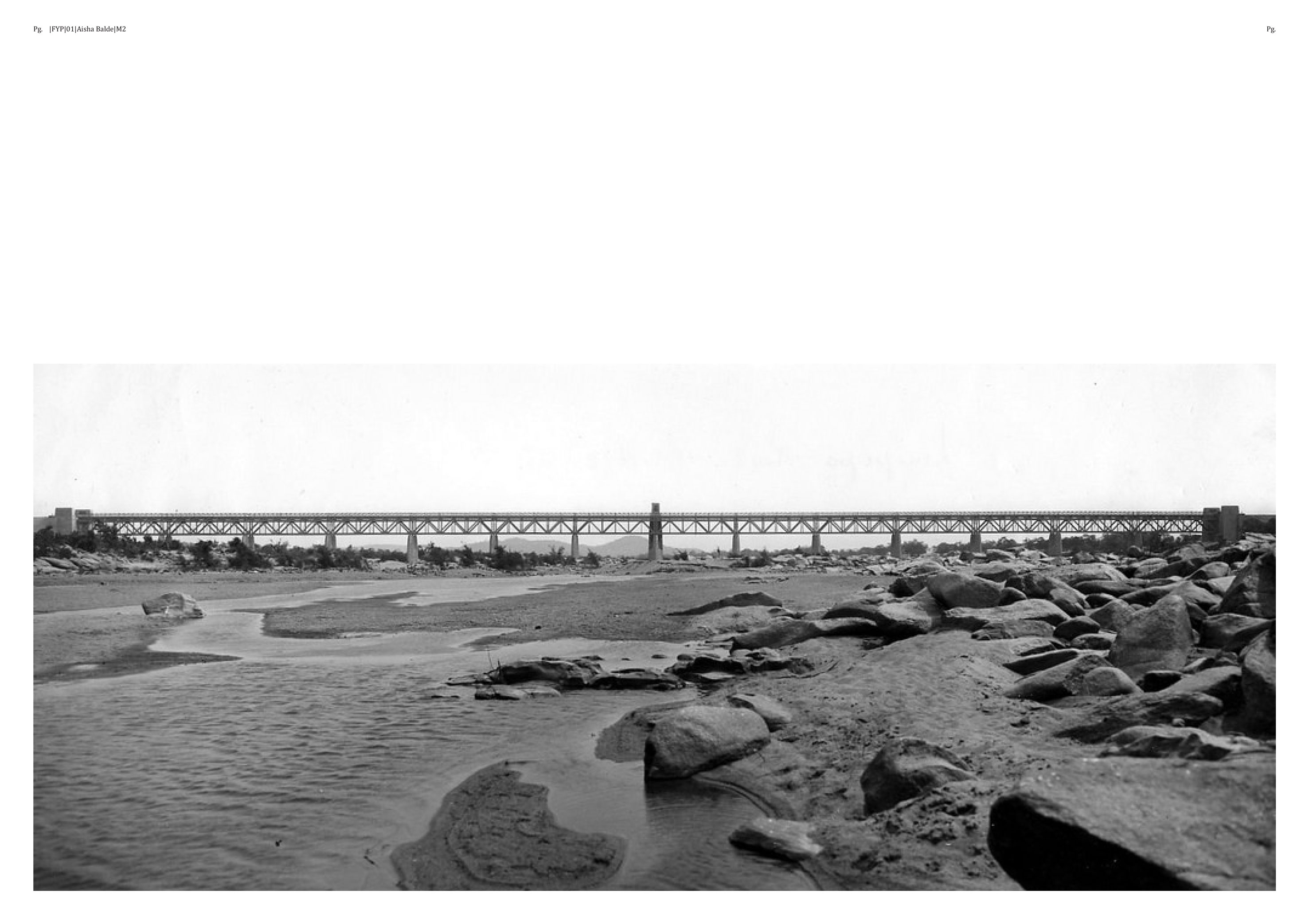
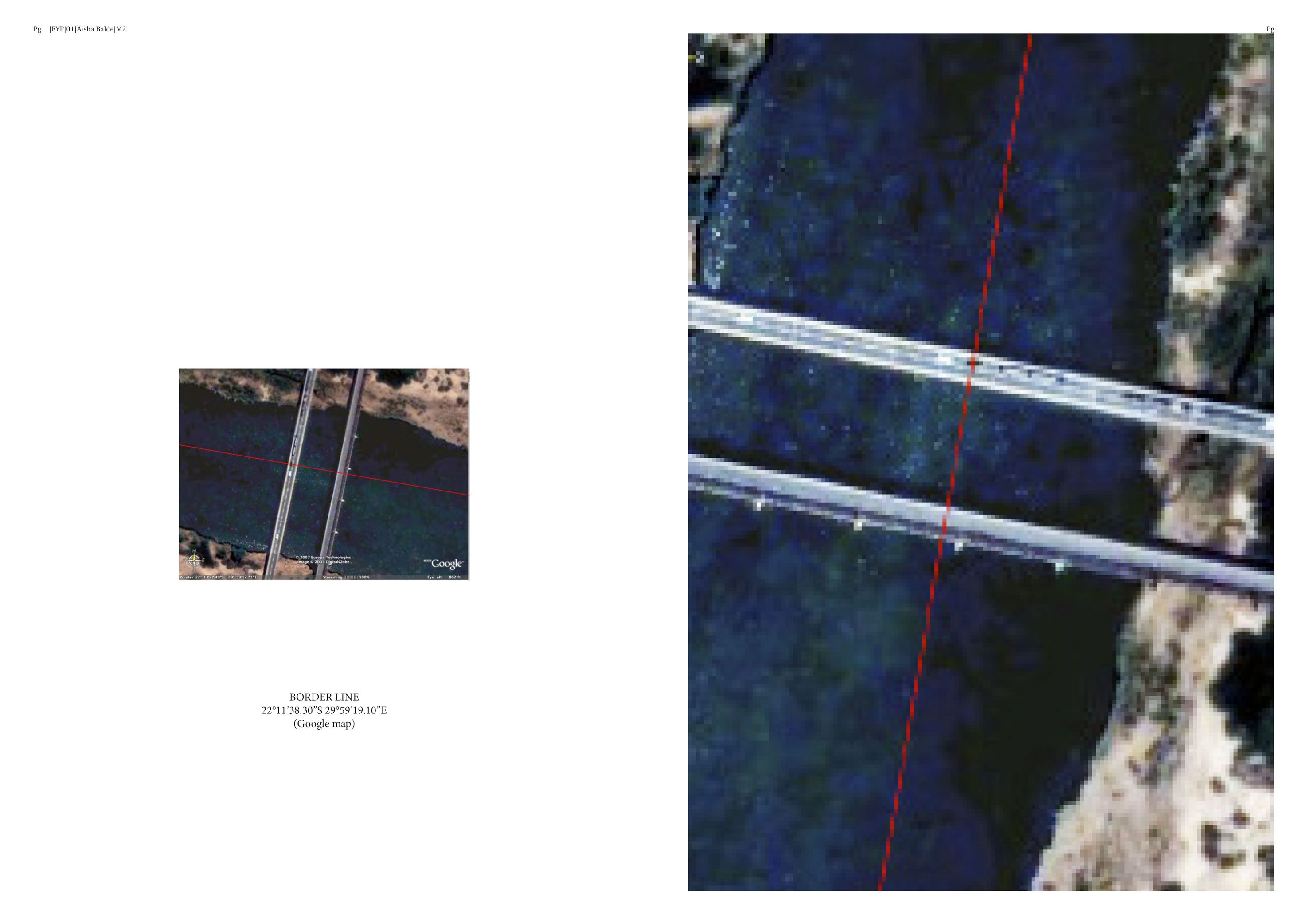
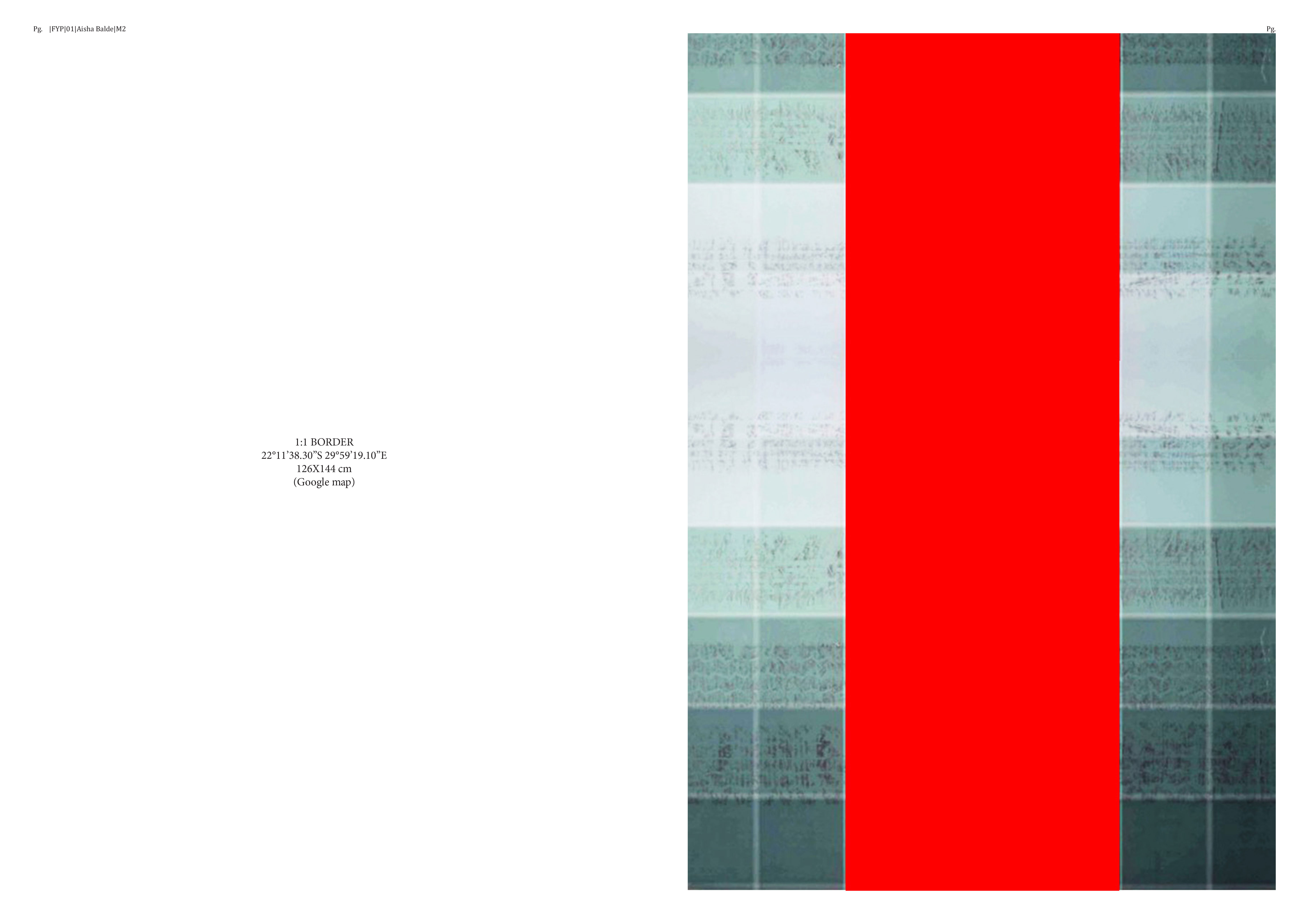
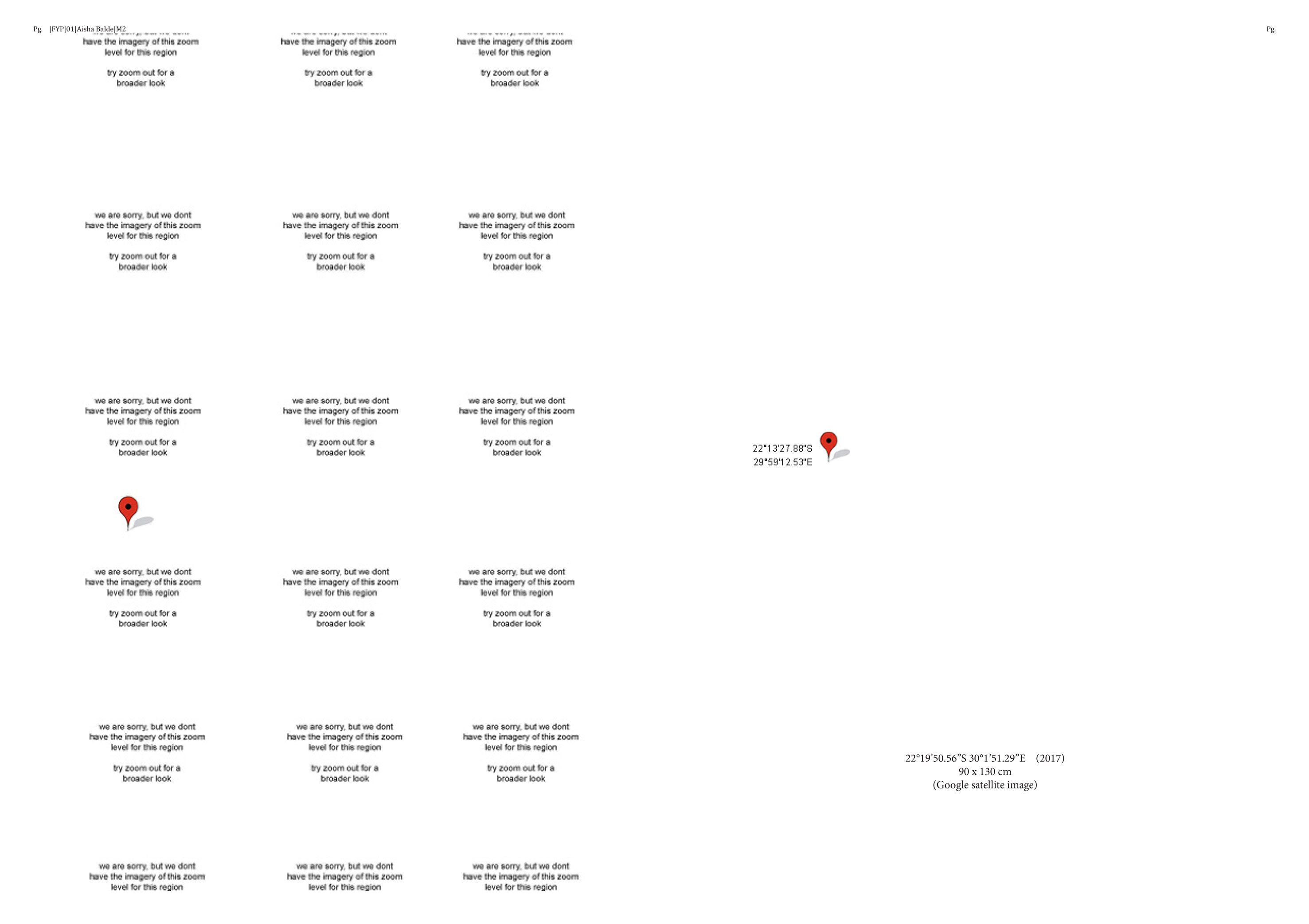
This section of print is the result of enlarging a Google satellite photograph of the actual border-line between Zimbabwe and South Africa, demarcated in red, to a scale of 1:1 with the reality on the ground. The border cuts through the middle of the Limpopo River and bisects two bridges spanning the river at Beitbridge.
Keywords: Migration, Identity, Journey, Time, Sacrifice
